
Nyaruguru topographic map
Interactive map
Click on the map to display elevation.
About this map
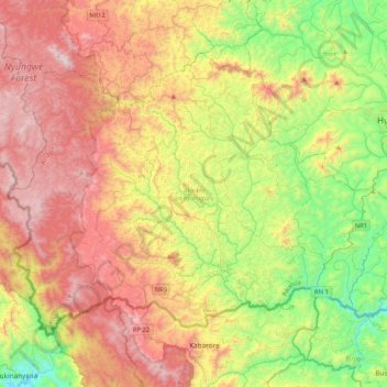
Name: Nyaruguru topographic map, elevation, terrain.
Location: Nyaruguru, Amajvepfo, Ruanda (-2.83898 29.32765 -2.53124 29.74740)
Average elevation: 1,991 m
Minimum elevation: 1,377 m
Maximum elevation: 2,738 m
Other topographic maps
Click on a map to view its topography, its elevation and its terrain.