Geolocate

Live Oak topographic map

Click on the map to display elevation.

About this map

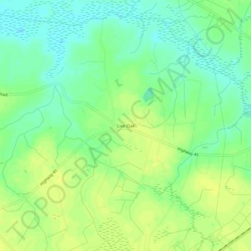
Name: Live Oak topographic map, elevation, terrain.

Location: Live Oak, Horry County, South Carolina, 29569, United States (34.03573 -78.95864 34.07573 -78.91864)

Average elevation: 28 m

Minimum elevation: 18 m

Maximum elevation: 36 m

Other topographic maps

Click on a map to view its topography, its elevation and its terrain.

Gear up for your next adventure:

🥾Approach Shoes - Shoes designed for climbing approaches and rugged trails
🥾Trekking Boots - Durable boots for long-distance trekking
Camping Tent - Weather-resistant tents suitable for 2 to 6 people
🥤Collapsible Travel Cup - Saves space and weight in your mess kit
Camping Coffee Maker - Brew fresh coffee anywhere on the topographic map

As an Amazon Associate, this site earns from qualifying purchases at no extra cost to you.