
Katanga topographic map
Interactive map
Click on the map to display elevation.
About this map
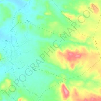
Name: Katanga topographic map, elevation, terrain.
Location: Katanga, Warji, Bauchi, Nigeria (11.16161 9.74591 11.19396 9.80384)
Average elevation: 481 m
Minimum elevation: 433 m
Maximum elevation: 567 m