
Heron topographic map
Interactive map
Click on the map to display elevation.
About this map
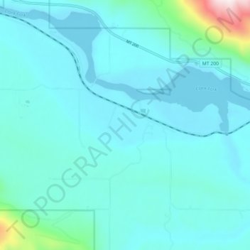
Name: Heron topographic map, elevation, terrain.
Location: Heron, Sanders County, Montana, États-Unis d'Amérique (48.04582 -116.01769 48.06998 -115.92813)
Average elevation: 762 m
Minimum elevation: 658 m
Maximum elevation: 1,621 m