
Waverly topographic map
Click on the map to display elevation.
About this map
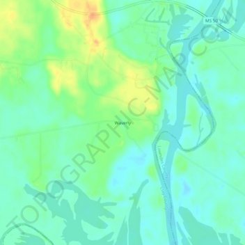
Name: Waverly topographic map, elevation, terrain.
Location: Waverly, Clay County, Mississippi, United States (33.54762 -88.52393 33.58762 -88.48393)
Average elevation: 55 m
Minimum elevation: 43 m
Maximum elevation: 78 m