Geolocate

Grenggeng topographic map

Click on the map to display elevation.

About this map

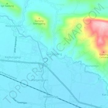
Name: Grenggeng topographic map, elevation, terrain.

Location: Grenggeng, Kebumen, Central Java, Java, 54411, Indonesia (-7.62740 109.52919 -7.58740 109.56919)

Average elevation: 47 m

Minimum elevation: 7 m

Maximum elevation: 264 m

Gear up for your next adventure:

🧥Waterproof Jacket - Lightweight rain jackets for hiking and outdoor activities
🧴Insect Repellent - Protect yourself from bugs during outdoor adventures
🧭GPS Tracker - Track your location in remote areas safely
🧥Thermal Fleece Jacket - Versatile insulation for changing mountain temperatures
🔋Lithium AA Batteries - Long-lasting power that performs in extreme cold

As an Amazon Associate, this site earns from qualifying purchases at no extra cost to you.