
Cardel topographic map
Interactive map
Click on the map to display elevation.
About this map
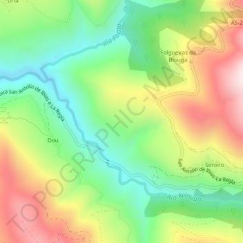
Name: Cardel topographic map, elevation, terrain.
Location: Cardel, Ibias, Asturias, España (43.05449 -6.84594 43.07449 -6.82594)
Average elevation: 538 m
Minimum elevation: 285 m
Maximum elevation: 891 m