Geolocate

Sacramento topographic map

Click on the map to display elevation.

About this map

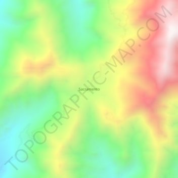
Name: Sacramento topographic map, elevation, terrain.

Location: Sacramento, Fundación, Magdalena, RAP Caribe, Colombia (10.39725 -73.97186 10.43725 -73.93186)

Average elevation: 1,017 m

Minimum elevation: 496 m

Maximum elevation: 1,675 m

Gear up for your next adventure:

🧊Insulated Water Bottle - Keeps drinks cold in summer and prevents freezing in winter
🥾Trail Hiking Boots - Supportive boots for rough trails
🕶️Polarized Sunglasses - Protect your eyes with durable polarized lenses
🦟Insect Repellent - Keep mosquitoes and black flies away in wooded areas
🥾Mountain Trail Shoes - High-traction shoes for mountain trails

As an Amazon Associate, this site earns from qualifying purchases at no extra cost to you.