
Lahontan topographic map
Interactive map
Click on the map to display elevation.
About this map
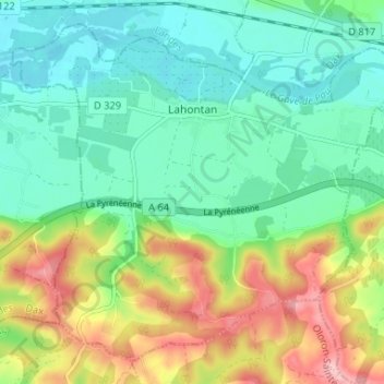
Name: Lahontan topographic map, elevation, terrain.
Average elevation: 56 m
Minimum elevation: 6 m
Maximum elevation: 157 m
Ein 15 km langer Wander- und Radrundweg mit einem Höhenunterschied von 260 m führt durch Weinberge und Wald im Gemeindegebiet von Lahontan.