
Kendu topographic map
Interactive map
Click on the map to display elevation.
About this map
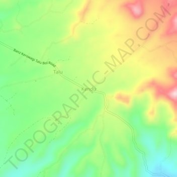
Name: Kendu topographic map, elevation, terrain.
Location: Kendu, Jiwaka, Highlands Region, Papua New Guinea (-5.84618 144.65845 -5.80618 144.69845)
Average elevation: 1,611 m
Minimum elevation: 1,486 m
Maximum elevation: 1,776 m
Other topographic maps
Click on a map to view its topography, its elevation and its terrain.
Mount Wilhelm
Mount Wilhelm, Jiwaka, Momase Region, Papua New Guinea
Average elevation: 4,069 m