
Sverstad topographic map
Click on the map to display elevation.
About this map
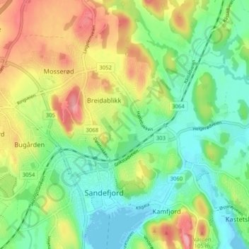
Name: Sverstad topographic map, elevation, terrain.
Location: Sverstad, Sandefjord, Vestfold og Telemark, 3216, Norway (59.12087 10.21193 59.16087 10.25193)
Average elevation: 42 m
Minimum elevation: -2 m
Maximum elevation: 108 m