
Thank you for supporting this site ❤️
Make a donation
Make a donation
Gear up for your next adventure:
As an Amazon Associate, this site earns from qualifying purchases at no extra cost to you.
Leebrug topographic map
Click on the map to display elevation.
Thank you for supporting this site ❤️
Make a donation
Make a donation
Gear up for your next adventure:
As an Amazon Associate, this site earns from qualifying purchases at no extra cost to you.
About this map
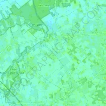
Name: Leebrug topographic map, elevation, terrain.
Location: Leebrug, Sinaai, Sint-Niklaas, Oost-Vlaanderen, 9112, België (51.12984 3.98362 51.16984 4.02362)
Average elevation: 4 m
Minimum elevation: 0 m
Maximum elevation: 7 m
Thank you for supporting this site ❤️
Make a donation
Make a donation
Gear up for your next adventure:
As an Amazon Associate, this site earns from qualifying purchases at no extra cost to you.