
Make a donation
Gear up for your next adventure:
As an Amazon Associate, this site earns from qualifying purchases at no extra cost to you.
Heitlingen topographic map
Click on the map to display elevation.
Make a donation
Gear up for your next adventure:
As an Amazon Associate, this site earns from qualifying purchases at no extra cost to you.
About this map
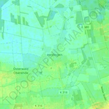
Name: Heitlingen topographic map, elevation, terrain.
Average elevation: 49 m
Minimum elevation: 43 m
Maximum elevation: 58 m
Make a donation
Gear up for your next adventure:
As an Amazon Associate, this site earns from qualifying purchases at no extra cost to you.
Other topographic maps
Click on a map to view its topography, its elevation and its terrain.
Make a donation
Gear up for your next adventure:
As an Amazon Associate, this site earns from qualifying purchases at no extra cost to you.
Havelse
Deutschland > Niedersachsen > Region Hannover > Garbsen
Nach Osten hin grenzt Havelse in Höhe des Marienwerder Forstes an Hannovers Stadtteil Marienwerder, im Süden an der Leineaue an Seelze, während die Nordwestgrenze durch den Mittellandkanal gebildet wird. Der Kanal überquert unweit der Ortschaft mittels eines imposanten Brückenbauwerks die Leine.
Average elevation: 51 m