
Lacul Mujdeni topographic map
Interactive map
Click on the map to display elevation.
About this map
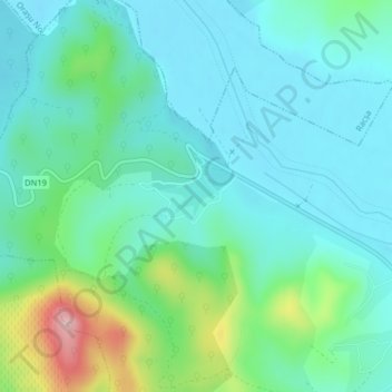
Name: Lacul Mujdeni topographic map, elevation, terrain.
Location: Lacul Mujdeni, Orașu Nou, Satu Mare, Roumanie (47.84148 23.26349 47.84445 23.26911)
Average elevation: 185 m
Minimum elevation: 140 m
Maximum elevation: 342 m