Geolocate

El Retornu topographic map

Click on the map to display elevation.

About this map

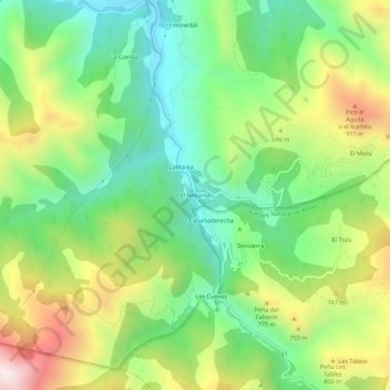
Name: El Retornu topographic map, elevation, terrain.

Location: El Retornu, Piloña, Asturias, Spain (43.25121 -5.43938 43.29121 -5.39938)

Average elevation: 592 m

Minimum elevation: 271 m

Maximum elevation: 1,112 m

Gear up for your next adventure:

💡LED Headlamp - Hands-free illumination for night hiking and camping
🦟Insect Repellent - Keep mosquitoes and black flies away in wooded areas
🪑Ultralight Camping Stool - Compact seating for rest stops during long hikes
👟Sport Hiking Sandals - Breathable footwear for water crossings and camp rest
🧴Outdoor Sunscreen - High SPF protection for high-altitude UV exposure

As an Amazon Associate, this site earns from qualifying purchases at no extra cost to you.