
Pointe Mouillee State Game Area topographic map
Interactive map
Click on the map to display elevation.
About this map
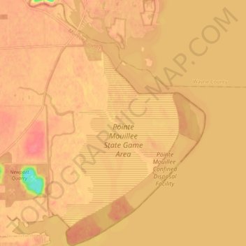
Name: Pointe Mouillee State Game Area topographic map, elevation, terrain.
Average elevation: 173 m
Minimum elevation: 126 m
Maximum elevation: 188 m