Geolocate

Thorndon topographic map

Click on the map to display elevation.

About this map

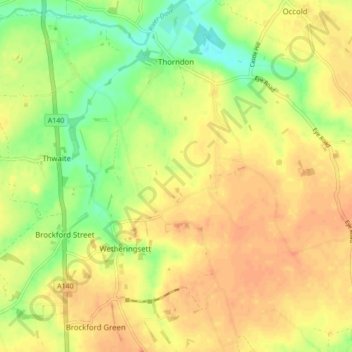
Name: Thorndon topographic map, elevation, terrain.

Location: Thorndon, Mid Suffolk, Suffolk, England, United Kingdom (52.24260 1.11515 52.29517 1.17899)

Average elevation: 52 m

Minimum elevation: 29 m

Maximum elevation: 66 m

Gear up for your next adventure:

Bushcraft Tarp - Versatile emergency shelter or gear protection
Backpacking Tent - Lightweight tent for long-distance hiking trips
❄️Traction Ice Cleats - Slip-on spikes for icy trails and winter hiking
🧴Sunscreen SPF - Broad-spectrum sunscreen for outdoor activities
🧳Compression Sacks - Maximize space in your backpack by shrinking gear

As an Amazon Associate, this site earns from qualifying purchases at no extra cost to you.