Geolocate

Gaum topographic map

Click on the map to display elevation.

About this map

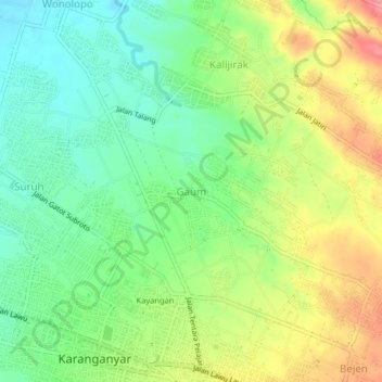
Name: Gaum topographic map, elevation, terrain.

Location: Gaum, Karanganyar, Central Java, Java, 57714, Indonesia (-7.60006 110.93709 -7.56006 110.97709)

Average elevation: 159 m

Minimum elevation: 123 m

Maximum elevation: 210 m

Gear up for your next adventure:

🔥Emergency Fire Starter - Reliable ignition source for all weather conditions
💧Reusable Water Bottle - Durable water bottles for hydration on trails
🔋Emergency Crank Radio - Weather alerts and power without needing batteries
🧦Merino Wool Socks - Moisture-wicking comfort for long-distance hiking
🥾Trail Hiking Boots - Supportive boots for rough trails

As an Amazon Associate, this site earns from qualifying purchases at no extra cost to you.