Geolocate

Hangdong topographic map

Click on the map to display elevation.

About this map

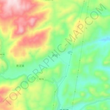
Name: Hangdong topographic map, elevation, terrain.

Location: Hangdong, Sayu, Anlong, Qianxinan, Guizhou, China (25.19702 105.29339 25.23702 105.33339)

Average elevation: 1,374 m

Minimum elevation: 1,217 m

Maximum elevation: 1,587 m

Gear up for your next adventure:

🕶️Polarized Sunglasses - Protect your eyes with durable polarized lenses
🔋Lithium AA Batteries - Long-lasting power that performs in extreme cold
🛏️Camping Sleeping Mat - Comfortable mats for sleeping outdoors
🧳Compression Sacks - Maximize space in your backpack by shrinking gear
🛶Kayak Dry Bag - Waterproof storage for kayaking adventures

As an Amazon Associate, this site earns from qualifying purchases at no extra cost to you.