
Quaeteh topographic map
Interactive map
Click on the map to display elevation.
About this map
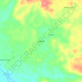
Name: Quaeteh topographic map, elevation, terrain.
Location: Quaeteh, Kpayan, Sinoe County, Liberia (5.06415 -8.78342 5.10415 -8.74342)
Average elevation: 60 m
Minimum elevation: 20 m
Maximum elevation: 118 m