
Batán topographic map
Interactive map
Click on the map to display elevation.
About this map
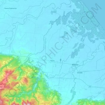
Name: Batán topographic map, elevation, terrain.
Location: Batán, Cantón Matina, Provincia Limón, 70502, Costa Rica (9.98177 -83.46833 10.22175 -83.23697)
Average elevation: 69 m
Minimum elevation: -1 m
Maximum elevation: 756 m