Geolocate

Spring Green topographic map

Click on the map to display elevation.

About this map

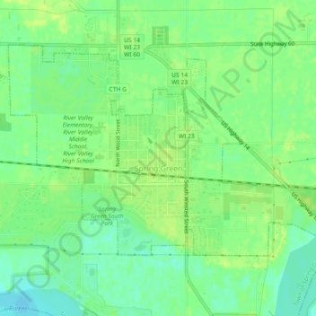
Name: Spring Green topographic map, elevation, terrain.

Location: Spring Green, Sauk County, Wisconsin, 53588, United States (43.16780 -90.08956 43.18987 -90.04434)

Average elevation: 221 m

Minimum elevation: 212 m

Maximum elevation: 227 m

Other topographic maps

Click on a map to view its topography, its elevation and its terrain.

Hill Point

United States > Wisconsin > Sauk County

Average elevation: 331 m

Cassell

United States > Wisconsin > Sauk County

Average elevation: 238 m

Gear up for your next adventure:

🔦LED Headtorch - Bright and durable light for night activities
🔦LED Headlamp - Hands-free lighting for early morning starts or late finishes
🥾Mountain Hiking Boots - High-traction boots for rocky terrain
🧢Hiking Sun Hat - Wide-brimmed protection for exposed mountain ridges
🧴Insect Repellent - Protect yourself from bugs during outdoor adventures

As an Amazon Associate, this site earns from qualifying purchases at no extra cost to you.