
Billau topographic map
Interactive map
Click on the map to display elevation.
About this map
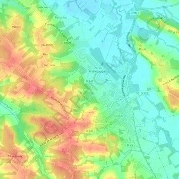
Name: Billau topographic map, elevation, terrain.
Average elevation: 115 m
Minimum elevation: 87 m
Maximum elevation: 153 m
Other topographic maps
Click on a map to view its topography, its elevation and its terrain.
Ponsac Sud
France > Occitanie > Gers > Nogaro
Ponsac Sud, Nogaro, Condom, Gers, Occitanie, France métropolitaine, 32110, France
Average elevation: 123 m