
Thank you for supporting this site ❤️
Make a donation
Make a donation
Gear up for your next adventure:
As an Amazon Associate, this site earns from qualifying purchases at no extra cost to you.
Hohenlimburg topographic map
Click on the map to display elevation.
Thank you for supporting this site ❤️
Make a donation
Make a donation
Gear up for your next adventure:
As an Amazon Associate, this site earns from qualifying purchases at no extra cost to you.
About this map
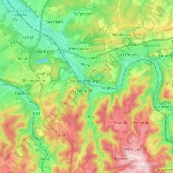
Name: Hohenlimburg topographic map, elevation, terrain.
Location: Hohenlimburg, Hagen, North Rhine-Westphalia, 58119, Germany (51.29562 7.48887 51.39922 7.59890)
Average elevation: 237 m
Minimum elevation: 65 m
Maximum elevation: 494 m
Thank you for supporting this site ❤️
Make a donation
Make a donation
Gear up for your next adventure:
As an Amazon Associate, this site earns from qualifying purchases at no extra cost to you.