
Battal topographic map
Click on the map to display elevation.
About this map
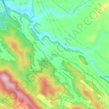
Name: Battal topographic map, elevation, terrain.
Location: Battal, Majalta, Udhampur District, Jammu and Kashmir, India (32.70893 75.13396 32.74893 75.17396)
Average elevation: 574 m
Minimum elevation: 442 m
Maximum elevation: 791 m