Geolocate

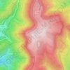
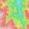
Seebach topographic map

Click on the map to display elevation.

About this map
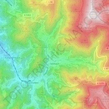
Name: Seebach topographic map, elevation, terrain.

Location: Seebach, GVV Kappelrodeck, Ortenaukreis, Baden-Württemberg, 77889, Germany (48.55816 8.14728 48.60415 8.23703)

Average elevation: 615 m

Minimum elevation: 233 m

Maximum elevation: 1,163 m

Other topographic maps

Click on a map to view its topography, its elevation and its terrain.

Sommerseite

Germany > Baden-Württemberg > Ortenaukreis > Seebach

Average elevation: 599 m

Kernhof

Germany > Baden-Württemberg > Ortenaukreis > Seebach

Average elevation: 755 m

Schliffkopf

Germany > Baden-Württemberg > Ortenaukreis > Oppenau

Average elevation: 864 m

Waldulm

Germany > Baden-Württemberg > Ortenaukreis

Average elevation: 287 m

Hilsenhof

Germany > Baden-Württemberg > Ortenaukreis > Seebach

Average elevation: 529 m

Gear up for your next adventure:

🛶Kayak Accessories - Essential gear for safe and fun kayaking adventures
🧥Ultralight Puffy Jacket - Maximum warmth that packs down to the size of an orange
🧦Hiking Liner Socks - Thin base layer to prevent friction and blisters
🚲Bike Repair Kit - Essential tools for on-trail mechanical issues
🥾Waterproof Hiking Shoes - Durable shoes for wet and rugged trails

As an Amazon Associate, this site earns from qualifying purchases at no extra cost to you.