Geolocate

San Pedro topographic map

Click on the map to display elevation.

About this map

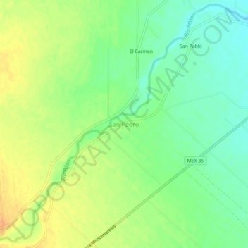
Name: San Pedro topographic map, elevation, terrain.

Location: San Pedro, General Terán, Nuevo León, Mexico (25.25549 -99.66172 25.29549 -99.62172)

Average elevation: 290 m

Minimum elevation: 274 m

Maximum elevation: 307 m

Gear up for your next adventure:

🧢Sun Hat - Wide-brim hat for sun protection
🥾Hiking Leggings - Comfortable leggings for outdoor activities
🥾Waterproof Hiking Boots - Boots keeping your feet dry in wet conditions
Lightweight Backpacking Tent - Compact tent for efficient hiking trips
💧Reusable Water Bottle - Durable water bottles for hydration on trails

As an Amazon Associate, this site earns from qualifying purchases at no extra cost to you.