
Komoé River topographic map
Interactive map
Click on the map to display elevation.
About this map
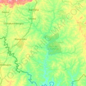
Name: Komoé River topographic map, elevation, terrain.
Location: Komoé River, Niangoloko, Comoé, Waterfalls, Burkina Faso (9.70259 -4.93858 10.76188 -4.55057)
Average elevation: 301 m
Minimum elevation: 223 m
Maximum elevation: 612 m
Other topographic maps
Click on a map to view its topography, its elevation and its terrain.