
Thank you for supporting this site ❤️
Make a donation
Make a donation
Gear up for your next adventure:
As an Amazon Associate, this site earns from qualifying purchases at no extra cost to you.
Gadingrejo topographic map
Click on the map to display elevation.
Thank you for supporting this site ❤️
Make a donation
Make a donation
Gear up for your next adventure:
As an Amazon Associate, this site earns from qualifying purchases at no extra cost to you.
About this map
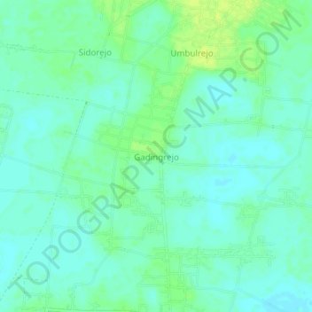
Name: Gadingrejo topographic map, elevation, terrain.
Location: Gadingrejo, Jember, East Java, Java, 68168, Indonesia (-8.25540 113.41445 -8.21540 113.45445)
Average elevation: 21 m
Minimum elevation: 15 m
Maximum elevation: 29 m
Thank you for supporting this site ❤️
Make a donation
Make a donation
Gear up for your next adventure:
As an Amazon Associate, this site earns from qualifying purchases at no extra cost to you.