
Thank you for supporting this site ❤️
Make a donation
Make a donation
Gear up for your next adventure:
As an Amazon Associate, this site earns from qualifying purchases at no extra cost to you.
Pulosari topographic map
Click on the map to display elevation.
Thank you for supporting this site ❤️
Make a donation
Make a donation
Gear up for your next adventure:
As an Amazon Associate, this site earns from qualifying purchases at no extra cost to you.
About this map
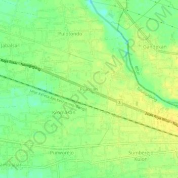
Name: Pulosari topographic map, elevation, terrain.
Location: Pulosari, Tulungagung, East Java, Java, 66292, Indonesia (-8.11234 111.96479 -8.07234 112.00479)
Average elevation: 101 m
Minimum elevation: 88 m
Maximum elevation: 109 m
Thank you for supporting this site ❤️
Make a donation
Make a donation
Gear up for your next adventure:
As an Amazon Associate, this site earns from qualifying purchases at no extra cost to you.