Geolocate

Naundörfel topographic map

Click on the map to display elevation.

About this map

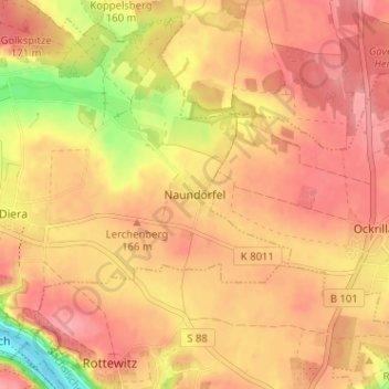
Name: Naundörfel topographic map, elevation, terrain.

Location: Naundörfel, Diera-Zehren, Meißen, Sachsen, 01662, Deutschland (51.18021 13.45719 51.22021 13.49719)

Average elevation: 156 m

Minimum elevation: 94 m

Maximum elevation: 185 m

Gear up for your next adventure:

💡Compact LED Flashlight - Powerful and portable flashlight for outdoor use
🧤Rechargeable Heated Gloves - Extreme warmth for Canadian winter expeditions
🧦Thermal Socks - Warm socks for winter hiking or camping
🎒Hiking Backpack - Lightweight and ergonomic backpacks for day hikes or multi-day treks
Lightweight Camping Tent - Portable shelter optimized for Canadian backcountry camping

As an Amazon Associate, this site earns from qualifying purchases at no extra cost to you.