Geolocate

Bhiwandi topographic map

Click on the map to display elevation.

About this map

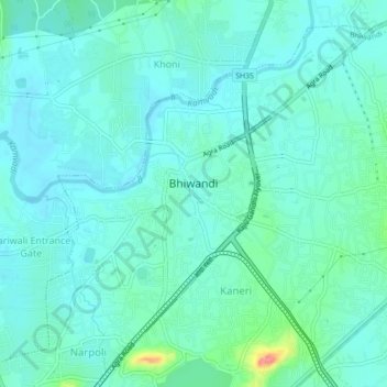
Name: Bhiwandi topographic map, elevation, terrain.

Location: Bhiwandi, Bhiwandi Taluka, Thane, Maharashtra, India (19.28240 73.03966 19.32050 73.08386)

Average elevation: 15 m

Minimum elevation: 0 m

Maximum elevation: 82 m

Gear up for your next adventure:

🧴Outdoor Sunscreen - High SPF protection for high-altitude UV exposure
Camping Tent - Weather-resistant tents suitable for 2 to 6 people
🧤Thermal Hiking Gloves - Grip-enhanced gloves for cold-weather altitude trekking
🧥Softshell Jacket - Windproof and breathable jacket for hiking
🥾Trail Running Shoes - Lightweight and durable shoes for trail running

As an Amazon Associate, this site earns from qualifying purchases at no extra cost to you.