
Thank you for supporting this site ❤️
Make a donation
Make a donation
Gear up for your next adventure:
As an Amazon Associate, this site earns from qualifying purchases at no extra cost to you.
Penrang topographic map
Click on the map to display elevation.
Thank you for supporting this site ❤️
Make a donation
Make a donation
Gear up for your next adventure:
As an Amazon Associate, this site earns from qualifying purchases at no extra cost to you.
About this map
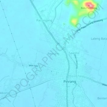
Name: Penrang topographic map, elevation, terrain.
Location: Penrang, Pinrang, South Sulawesi, Sulawesi, 91213, Indonesia (-3.80283 119.62678 -3.76283 119.66678)
Average elevation: 16 m
Minimum elevation: 8 m
Maximum elevation: 153 m
Thank you for supporting this site ❤️
Make a donation
Make a donation
Gear up for your next adventure:
As an Amazon Associate, this site earns from qualifying purchases at no extra cost to you.