
Thank you for supporting this site ❤️
Make a donation
Make a donation
Gear up for your next adventure:
As an Amazon Associate, this site earns from qualifying purchases at no extra cost to you.
Laubaleng topographic map
Click on the map to display elevation.
Thank you for supporting this site ❤️
Make a donation
Make a donation
Gear up for your next adventure:
As an Amazon Associate, this site earns from qualifying purchases at no extra cost to you.
About this map
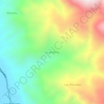
Name: Laubaleng topographic map, elevation, terrain.
Location: Laubaleng, Karo, North Sumatra, Sumatra, Indonesia (3.09680 98.08135 3.13680 98.12135)
Average elevation: 623 m
Minimum elevation: 157 m
Maximum elevation: 1,318 m
Thank you for supporting this site ❤️
Make a donation
Make a donation
Gear up for your next adventure:
As an Amazon Associate, this site earns from qualifying purchases at no extra cost to you.