
Ventanilla topographic map
Click on the map to display elevation.
About this map
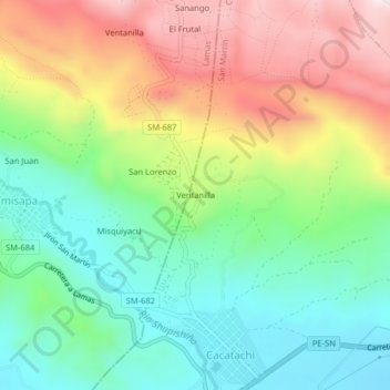
Name: Ventanilla topographic map, elevation, terrain.
Location: Ventanilla, Cacatachi, San Martín, 22170, Perú (-6.46713 -76.47366 -6.42713 -76.43366)
Average elevation: 471 m
Minimum elevation: 270 m
Maximum elevation: 773 m