
Westport Island topographic map
Interactive map
Click on the map to display elevation.
About this map
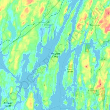
Name: Westport Island topographic map, elevation, terrain.
Location: Westport Island, Lincoln County, Maine, United States (43.85195 -69.73857 43.98983 -69.65604)
Average elevation: 21 m
Minimum elevation: -3 m
Maximum elevation: 96 m