
Ratnapura topographic map
Interactive map
Click on the map to display elevation.
About this map
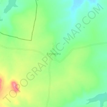
Name: Ratnapura topographic map, elevation, terrain.
Location: Ratnapura, Sangareddy, Telangana, Inde (17.87866 77.60773 17.91866 77.64773)
Average elevation: 579 m
Minimum elevation: 540 m
Maximum elevation: 642 m