
La Noguera topographic map
Interactive map
Click on the map to display elevation.
About this map
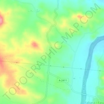
Name: La Noguera topographic map, elevation, terrain.
Location: La Noguera, Fabara, Zaragoza, Aragón, España (41.18102 0.14242 41.20102 0.16242)
Average elevation: 257 m
Minimum elevation: 214 m
Maximum elevation: 335 m