Geolocate

Spring Grove topographic map

Click on the map to display elevation.

About this map

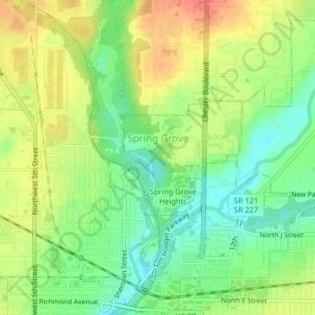
Name: Spring Grove topographic map, elevation, terrain.

Location: Spring Grove, Wayne County, Indiana, United States (39.84174 -84.89841 39.85157 -84.88472)

Average elevation: 300 m

Minimum elevation: 276 m

Maximum elevation: 326 m

Other topographic maps

Click on a map to view its topography, its elevation and its terrain.

East Germantown

United States > Indiana > Wayne County > Pershing

Average elevation: 291 m

Gear up for your next adventure:

🥾Waterproof Hiking Boots - Essential footwear for rugged terrain and wet Canadian trails
🧢Sun Hat - Wide-brim hat for sun protection
🧦Crew Hiking Socks - Comfortable socks for long-distance hikes
🧊Insulated Water Bottle - Keeps drinks cold in summer and prevents freezing in winter
🥾Mountain Trail Shoes - High-traction shoes for mountain trails

As an Amazon Associate, this site earns from qualifying purchases at no extra cost to you.