
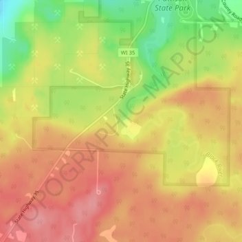
Little Manitou Falls topographic map
Interactive map
Click on the map to display elevation.
About this map
Name: Little Manitou Falls topographic map, elevation, terrain.
Average elevation: 337 m
Minimum elevation: 276 m
Maximum elevation: 374 m
Other topographic maps
Click on a map to view its topography, its elevation and its terrain.
Big Manitou Falls
États-Unis d'Amérique > Wisconsin > Town of Superior
Big Manitou Falls, Town of Superior, Douglas County, Wisconsin, États-Unis d'Amérique
Average elevation: 295 m