Geolocate

Agwanpur topographic map

Click on the map to display elevation.

About this map

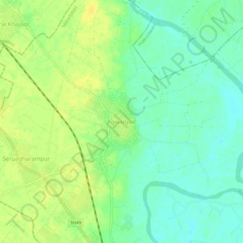
Name: Agwanpur topographic map, elevation, terrain.

Location: Agwanpur, Moradabad, Moradabad District, Uttar Pradesh, India (28.91098 78.70206 28.95098 78.74206)

Average elevation: 203 m

Minimum elevation: 192 m

Maximum elevation: 213 m

Other topographic maps

Click on a map to view its topography, its elevation and its terrain.

Ramganga

India > Uttar Pradesh > Moradabad > Moradabad

Average elevation: 199 m

Gear up for your next adventure:

🥾Waterproof Trail Shoes - Shoes designed to handle wet terrain
🦯Trekking Poles - Reduced impact on joints for steep topographic climbs
🧊Insulated Water Bottle - Keeps drinks cold in summer and prevents freezing in winter
🧥Thermal Fleece Jacket - Versatile insulation for changing mountain temperatures
👖Convertible Hiking Pants - Zip-off legs to adapt to changing weather conditions

As an Amazon Associate, this site earns from qualifying purchases at no extra cost to you.