
Magill topographic map
Interactive map
Click on the map to display elevation.
About this map
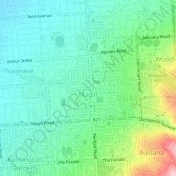
Name: Magill topographic map, elevation, terrain.
Average elevation: 130 m
Minimum elevation: 73 m
Maximum elevation: 288 m
Other topographic maps
Click on a map to view its topography, its elevation and its terrain.
Adélaïde
Australie > Australie méridionale > Adélaïde
Adélaïde, Adelaide City Council, Australie méridionale, 5000, Australie
Average elevation: 148 m