Geolocate

Nandini Nagar topographic map

Click on the map to display elevation.

About this map

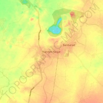
Name: Nandini Nagar topographic map, elevation, terrain.

Location: Nandini Nagar, Dhamdha Tahsil, Durg, Chhattisgarh, India (21.31348 81.36272 21.39348 81.44272)

Average elevation: 289 m

Minimum elevation: 253 m

Maximum elevation: 308 m

Gear up for your next adventure:

🛶Waterproof Dry Bags - Keep electronics and clothes dry during river crossings
🔨Vehicle Emergency Tool - Safety tool for remote road trips to trailheads
💡Portable Camping Lamp - Rechargeable lamp for campsite lighting
🧦Merino Wool Socks - Moisture-wicking comfort for long-distance hiking
Camping Coffee Maker - Brew fresh coffee anywhere on the topographic map

As an Amazon Associate, this site earns from qualifying purchases at no extra cost to you.