
Volcán Yanteles topographic map
Interactive map
Click on the map to display elevation.
About this map
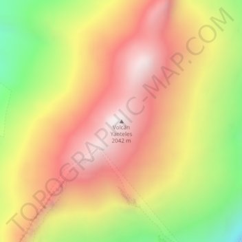
Name: Volcán Yanteles topographic map, elevation, terrain.
Location: Volcán Yanteles, Chaitén, Provincia de Palena, Lacs, Chili (-43.50330 -72.81387 -43.50320 -72.81377)
Average elevation: 1,621 m
Minimum elevation: 998 m
Maximum elevation: 2,088 m
Other topographic maps
Click on a map to view its topography, its elevation and its terrain.
Río Huequi
Río Huequi, Chaitén, Provincia de Palena, Lacs, Chili
Average elevation: 578 m