Geolocate

Tobacco Patch topographic map

Click on the map to display elevation.

About this map

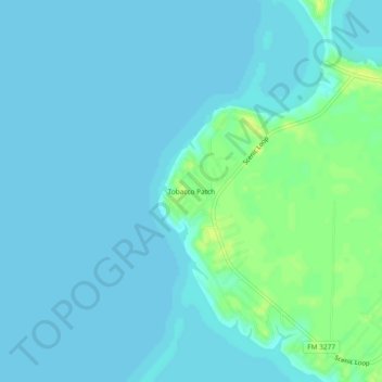
Name: Tobacco Patch topographic map, elevation, terrain.

Location: Tobacco Patch, Polk County, Texas, United States (30.70325 -95.12410 30.74325 -95.08410)

Average elevation: 43 m

Minimum elevation: 39 m

Maximum elevation: 54 m

Gear up for your next adventure:

🥾Mountaineering Boots - Supportive boots for climbing and high-altitude hiking
💧Filtered Water Bottle - Safe drinking water on the go
🧥Waterproof Jacket - Lightweight rain jackets for hiking and outdoor activities
🔦UV Flashlight - Detect minerals or specific insects in the dark
🧥Waterproof Hiking Jacket - Protect yourself from rain and wind while hiking

As an Amazon Associate, this site earns from qualifying purchases at no extra cost to you.