Geolocate

Mohave Valley topographic map

Click on the map to display elevation.

About this map

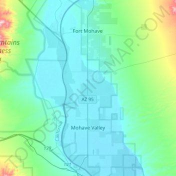
Name: Mohave Valley topographic map, elevation, terrain.

Location: Mohave Valley, Mohave County, Arizona, United States (34.84059 -114.63671 35.04430 -114.52035)

Average elevation: 231 m

Minimum elevation: 140 m

Maximum elevation: 960 m

Gear up for your next adventure:

🗺️Topographic Maps - Detailed maps to explore trails, mountains, and wilderness areas
🕶️Polarized Sunglasses - Reduces glare from snow and water at high elevations
🧥Fleece Jacket - Warm and lightweight jacket for layering
🥾Trail Hiking Boots - Supportive boots for rough trails
🧢Sun Protection Cap - Breathable cap to protect from sun exposure

As an Amazon Associate, this site earns from qualifying purchases at no extra cost to you.