
赤东湖 topographic map
Interactive map
Click on the map to display elevation.
About this map
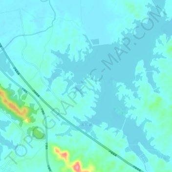
Name: 赤东湖 topographic map, elevation, terrain.
Location: 赤东湖, 蕲春县, 黄冈市, 湖北省, 中国 (30.05904 115.36622 30.11043 115.42146)
Average elevation: 25 m
Minimum elevation: 10 m
Maximum elevation: 136 m
Other topographic maps
Click on a map to view its topography, its elevation and its terrain.