
San Andres topographic map
Interactive map
Click on the map to display elevation.
About this map
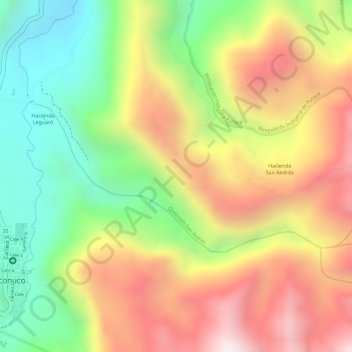
Name: San Andres topographic map, elevation, terrain.
Location: San Andres, Puracé, Cauca, Colombia (2.34405 -76.49449 2.35638 -76.46580)
Average elevation: 2,641 m
Minimum elevation: 2,270 m
Maximum elevation: 3,004 m
Other topographic maps
Click on a map to view its topography, its elevation and its terrain.