Geolocate

Pep topographic map

Click on the map to display elevation.

About this map

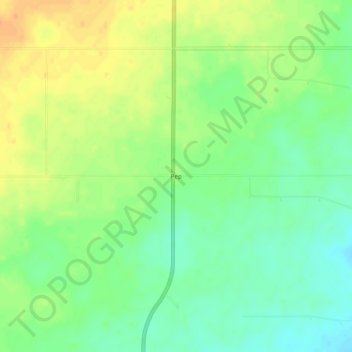
Name: Pep topographic map, elevation, terrain.

Location: Pep, Roosevelt County, New Mexico, 88126, United States (33.81620 -103.35551 33.85620 -103.31551)

Average elevation: 1,294 m

Minimum elevation: 1,277 m

Maximum elevation: 1,313 m

Other topographic maps

Click on a map to view its topography, its elevation and its terrain.

Portales

United States > New Mexico > Roosevelt County

Average elevation: 1,225 m

Gear up for your next adventure:

🔦LED Headtorch - Bright and durable light for night activities
🧴Insect Repellent - Protect yourself from bugs during outdoor adventures
🦌Outdoor Trail Camera - Monitor wildlife activity near your favorite spots
🚲Handlebar Phone Mount - View topographic-map.com live while cycling
🧦Hiking Liner Socks - Thin base layer to prevent friction and blisters

As an Amazon Associate, this site earns from qualifying purchases at no extra cost to you.