
Thank you for supporting this site ❤️
Make a donation
Make a donation
Gear up for your next adventure:
As an Amazon Associate, this site earns from qualifying purchases at no extra cost to you.
Kyani-Nyanza topographic map
Click on the map to display elevation.
Thank you for supporting this site ❤️
Make a donation
Make a donation
Gear up for your next adventure:
As an Amazon Associate, this site earns from qualifying purchases at no extra cost to you.
About this map
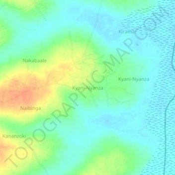
Name: Kyani-Nyanza topographic map, elevation, terrain.
Location: Kyani-Nyanza, Kaliro, Eastern Region, Uganda (0.95115 33.52956 0.99115 33.56956)
Average elevation: 1,056 m
Minimum elevation: 1,043 m
Maximum elevation: 1,081 m
Thank you for supporting this site ❤️
Make a donation
Make a donation
Gear up for your next adventure:
As an Amazon Associate, this site earns from qualifying purchases at no extra cost to you.